Wednesday, July 17, 2013

Trail Report: Mount Crawford

June 21, 2013

We have a couple of new friends that have decided to start hiking with us so we wanted to keep the hike to something moderate.  Mount Crawford, my first hike in the White Mountains.

You can read about my first time hiking Crawford here:
 http://hikene.blogspot.com/2012/06/trail-report-mount-crawford.html

This mountain doesn't stand out because it's not a 4000 footer, in fact it's barely over 3000 at 3119'.  Don't let the elevation fool you, Davis Path is very steep so it is not an "easy" hike.  The views from the summit are some of the best I have seen in the Whites, and because it's not a 4000 footer, this mountain is not very busy.  Both times I've hiked it we had the summit to ourselves.

Geared up and ready to go
Jay, Tony, Shawn

Over the bridge

Ice cold - We jumped in here after the hike

Trailhead sign

Crossing a small stream

The stairs
From this point forward the steep climb never ended until the summit

First good view

Shawn

We ran into a couple coming down and they were
kind enough to take a group photo
Tony, Mike, Shawn, Jay

Tony and Shawn heading up one of a few massive rock slabs

View from another rock slab higher up

Mount Washington from the summit of Crawford

Summit brews with Stairs and Mount Resolution

Shawn enjoying the view

Deer poop - Because you all wanted to see it

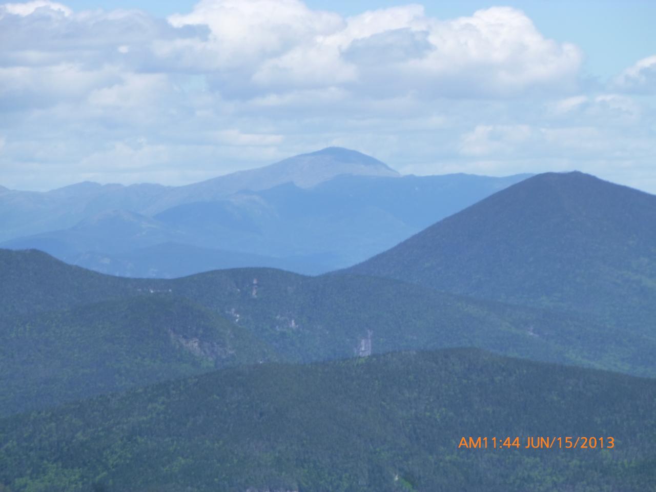
Mount Willey in the center

The Presidential Range

Close up of Mount Washington

Jay slipped and was asking us for help - We finished our beers first

Me checking out the view

Tony staring at Mount Washington

Shawn sitting on the edge with Mt. Washington in the distance

Jay taking a nap

There was no one at the summit to take a photo so I tried using the 10 second timer on the camera.  Not bad.

One final view on our descent

GPS Track 1

GPS Track 2

GPS Track 3

Summit of Mount Crawford: 3119'
Total hike time (round trip)..: 5h
Elevation Gain.....................: 2327'
Distance (round trip)...........: 6.20 miles
Trails: Davis Path

Tuesday, July 16, 2013

Trail Report: Mount Willey

July 5, 2013

This will be a very short blog post because I lost my camera on the descent of this hike.  The only pics I have are the ones I took with my phone.

Please see this post if you think you found my camera:
 http://www.vftt.org/forums/showthread.php?49633-Lost-Camera-Willey-Ridge-Trail-July-5-2013


The day after the 4th was very hot and humid, it was about 80 degrees at the trailhead in the morning and by the time we returned it was almost 90.  Not ideal hiking temperatures.  Not only was it very hot but the black flies were in full swing.  My legs were eaten alive.  After the hike we went over to the parking lot for Mount Crawford and jumped into the ice cold mountain stream!  What a great way to cool off and clean up before our trek over to Moat Mountain Brewery.

And the few pictures I have, not in any particular order.


Summit of Mount Willey: 4,255'
Total Hike Time:
Distance:
Elevation Gain:
Trails: Ethan Pond Trail & Willey Ridge Trail

Trail Report: Mount Osceola & East Osceola

June 15, 2013

A month away from Katahdin and we still haven't gotten Gary out for a 4000' hike.  We decided on Osceola because neither Gary or Tony had hiked it and I still needed to hike over to East Osceola because we didn't hike to it a year earlier.

You can read about last years Osceola hike here:
http://hikene.blogspot.com/2012/07/trail-report-mount-osceola.html

Osceola isn't a terribly difficult hike but the entire trail is rocks and I don't mean rock scramble type climbing.  Your feet and knees will take a beating on the descent.  Trekking poles are probably a good idea on the Mount Osceola Trail.

Trailhead sign

Getting ready in the parking lot
Tom, Gary, Tony

Right from the beginning the rocks start

There are almost no views from the trail.  But you do get a couple views of Waterville Valley Ski Area and Mount Tecumseh.

Waterville Valley Ski Area

Mount Tecumseh

Tony and I hiked Mount Tecumseh back in March.  You can read about that hike here: http://hikene.blogspot.com/2013/03/trail-report-mount-tecumseh.html

Gary's pack was not adjusted properly and he was having issues all day

Me taking a break

The view from the summit

Our summit brews

Mount Washington

Gary decided to stay behind on the summit of Osceola while Tom, Tony and myself made the trek over to East Osceola. The trail over to East is about 45 minutes each way, with one very steep (pretty much vertical) section called "The Chimney".

Tony with East Osceola - Our next destination

Tom and Tony checking out a steep section of trail

Looking down the chimney - It is steeper than it looks, trust me

Tony going down the chimney

Looking up at the chimney

Me @ the summit of East Osceola 4,156'

Going up the chimney on the way back to Osceola

Summit of Osceola 4,340'
Tony, Mike, Gary, Tom

Summit of Osceola: 4,340'
Summit of East Osceola:  4,156'
Total Hike Time: 
Distance:
Elevation Gain:
Trails: Mount Osceola Trail