Friday, September 27, 2013

Trail Report: Mount Monadnock

Sept 21, 2013

My sister asked me to take my 6 year old niece on a hike, I wasn't sure Monadnock would be a good first hike and was thinking of doing one of the Pack Monadnocks.  I contacted my uncle and he was already planning a Monadnock hike for Saturday Sept 21 so I decided to tag along.  It was a beautiful day, sunny, a little on the cool side and windy.  The mountain was also very crowded, no surprise there, one of the State Park workers told me there were 1000-1200 people on the mountain today.  This will be my last hike on this mountain on a weekend during the Spring-Summer months.  The trail of ants going up and down was unreal.  There were also a lot of unsupervised children (boy scout troops) cutting people off, jumping in front of you as you were about to step on a rock, it was ridiculous.  Never again will I go near this place.

Michael, Kelley, Olivia, Mike

Gary & Olivia

White Dot Trailhead

 The journey begins!

Kelley & Olivia at the junction of White Dot and White Cross

Heading up White Cross Trail

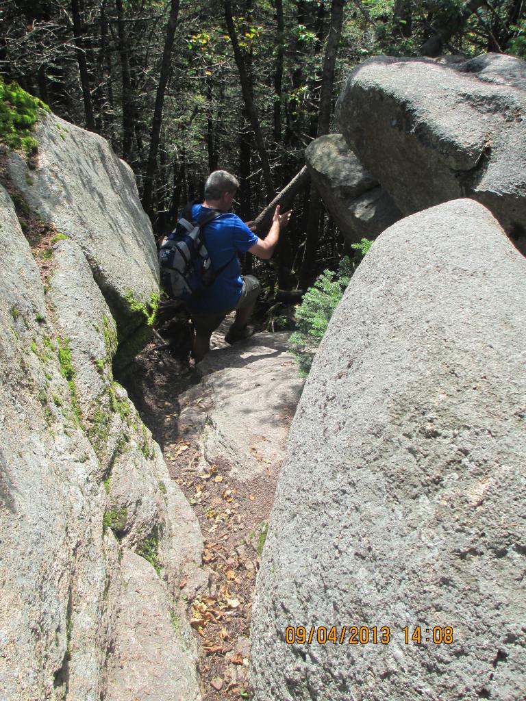
This trail isn't that steep but for a 6yo it is

Posing on the rocks for pictures!

Climbing up the rock slab

Taking a break

Gary climbing up

Olivia's first view

Michael, Mike & Kelley

Olivia was a little nervous standing near the edge

 Gary, Olivia, Kelley, Michael

I think this is the Wapack Range

Olivia needing some help

Getting higher!

I'm not sure if that false peak has a name

Michael enjoying the view

Olivia and Michael

More rock climbing

First view of the summit

Close up of the summit

Almost there

Olivia standing next to a giant cairn

Olivia and Gary at the official USGS summit marker
Mount Monadnock 3,165'

Michael @ the USGS marker

Kelley @ the USGS marker

GPS Track

GPS Track

We didn't stay very long at the summit.  The winds had to have been upwards of 50mph and the summit was like a small city with so many people you could hardly find a place to sit that would block the wind.  We all had a drink and snack and then started our descent.

Summit of Mount Monadnock: 3,165'
Total hike time (round trip)..: 5h 8m
Elevation Gain.....................: 2078
Distance (round trip)...........: 5.56m
Trails:  White Cross (White Dot for a brief period)


Thursday, September 19, 2013

Trail Report: The Tripyramids

Sept 4, 2013

North (4,180'), Middle (4,140') and South (4,100') Tripyramid.  Tony and I have been talking about these three peaks for a quite a while so we finally decided to hike them.  They don't offer much in the way of views at the summit.  In fact north has one view at the summit if you take a side trail, middle offers a view if you stand on a huge boulder, and south offers no view at all as it is completely tree covered.  The views are climbing the rock slides to the summit, which was the plan.  Unfortunately, we took the wrong trail so we were in the trees all the way to the summit of North Tripyramid.  Also, South Tripyramid is not an official 4000 footer even though it sits at 4,100', but we had to hike over to it.  How can you hike the "Tri"pyramids and NOT hike over to the third peak?

Trailhead sign

There is no parking lot for this trail
You have to park on the side of the Kangamangus

The start of the trail

This trail was very wet and muddy, probably due to all the rain the Whites had a few days earlier.  The entire loop was muddy and there were more blow downs than any other hike I have done.  This trail is not well maintained, I'm guessing it's not a very popular hike except with peakbaggers.

This log was so wet and slippery I chose to not walk across it

Heading up the trail

 
One of many blow downs

This trail reminded me of the Flume and Liberty hike we did last year.
It was very flat for a couple of miles, then bam!  The steepness hits you

View from summit or North Tripyramid

It's hard to see but the treetops were
starting to turn yellow.  Winter is coming!

Mount Chocorua
from the summit of North Tripyramid

Mount Washington in the clouds

More Fall foliage coming in

Another view - I'm not sure what peaks
those are

Tony @ Summit of North Tripyramid 4,180'

Mike @ Summit of North Tripyramid 4,180'

On our way over to Middle Tripyramid

 
Waterville Valley Ski Area / Mount Tecumseh behind us

Summit of Middle Tripyramid 4,140'

View from summit of Middle Tripyramid

Our summit beers

Heading down from Middle over to South


 Nice rock shelter

Tony @ Summit of South Tripyramid 4,100'

Massive rock slab

Another blow down

Because we took the wrong trail we didn't read about this and
it was unexpected what we were about to see

Sabbaday Falls

Sabbaday Falls

Sabbaday Falls

Sabbaday Falls

Trailhead from the other side of the loop

The loop spits you out 1 mile from the Pine Bend trailhead
So it's another 1 mile walk up the Kangamangus
to get back to the car

Not a good shot and nothing to see, but a car pulled over to let Tony and I know that a bear just crossed the road and ran into the woods at this spot.
We didn't see him

GPS Track #1

 GPS Track #2

GPS Track #3

Total hike time (round trip)..: 8h 37m
Elevation Gain.....................: 3,717'
Distance (round trip)...........: 13.29m
Trails: Pine Bend Brook Trail, Mount Tripyramid Trail, Sabbaday Falls Trail