March 9, 2014
It's been a while since I've gone hiking so I hope everyone had a Merry Christmas and a Happy New Year!
It's been 4 months to the day since I've done a hike. This is the longest stretch I've gone without a hike since I starting hiking two years ago. This winter has been long. Very cold and a lot of snow. Usually we look forward to the warm up in March but this March it is still cold and I've still got 4-5" of snow in my yard. I think the Whites will have snow on them until May this year.
Today's hike was quite a drive. 3.5 hours North just past Berlin, New Hampshire. Mount Cabot 4,179' is the furthest North 4000 footer. Because of how remote this hike is, a lot of people do this mountain last. We decided to get it out of the way early and because I haven't hiked in 4 months I thought it would be good to find a hike that was less than 10 miles long. Most of the hikes I have left on my list of 48 (I've done 29 I think) are 11-15 miles.
The weather was calling for clouds but it turned out to be a beautiful sunny day with some light winds. About 30 degrees at the base and 19 at the summit. Tony was guessing the temps at the summit were closer to 0 with the wind chill.
Gearing up in the parking lot
Trailhead
Me @ the trailhead
Bridge crossing
First trail intersection
Tony with our destination (Mount Cabot) behind him
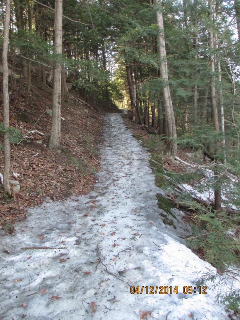
The trail was nice and packed down the entire way
Another trail pic
There was not much elevation gain until we reached this point and then
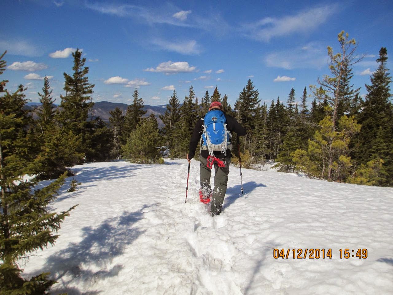
the last 1.8 miles was long
Kilkenny Ridge Trail
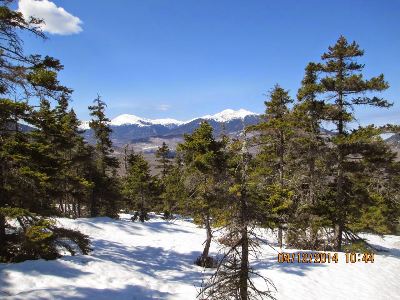
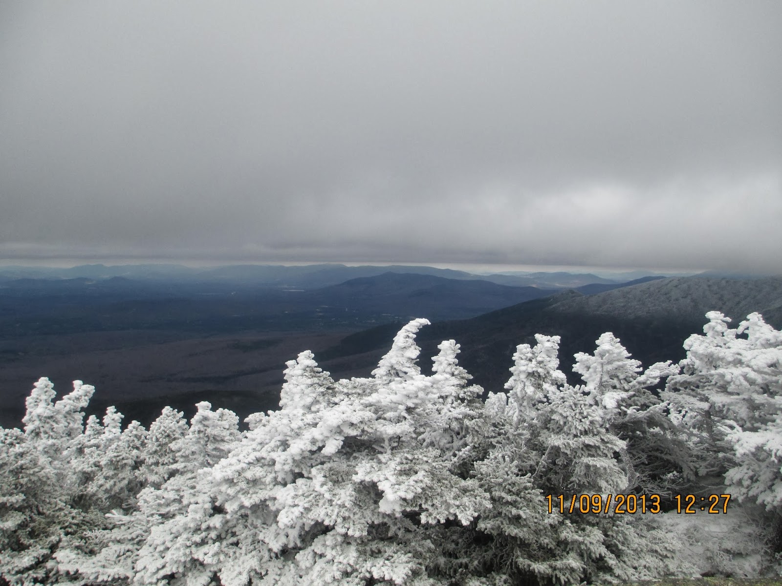
This is the first view we saw on the hike up.
There are no real good views on this hike unless you do the loop and hike over to the Horn and the Buldge (which we didn't do)
The last 1.7 miles of this hike was all up hill
A very short spur trail leads to this view
First time I've seen an outhouse at 4000'
Cabot Cabin at 4000'
It was colder inside the cabin than out in the sun but it was nice to sit down for 15 minutes and take a break
View from the cabin
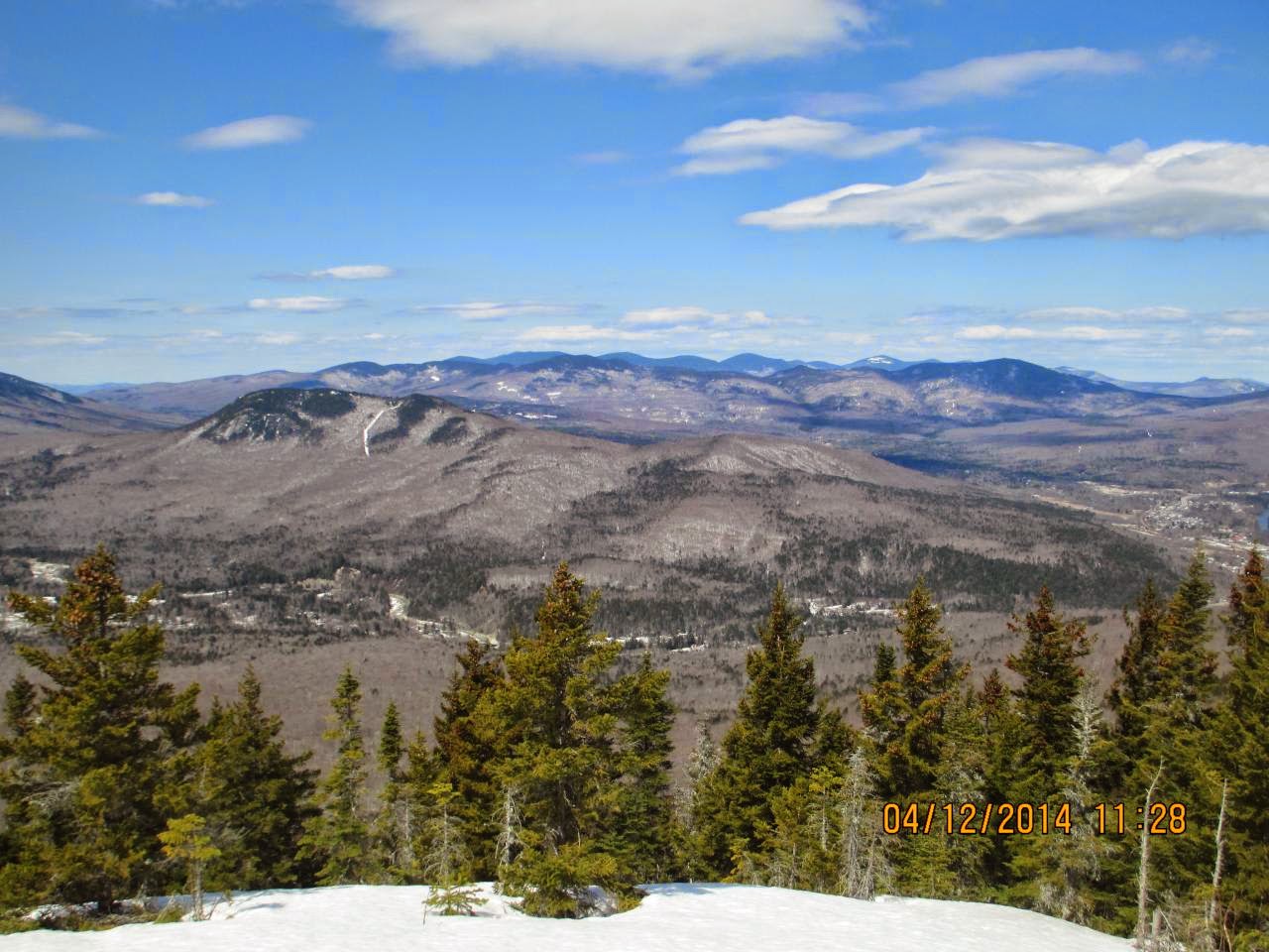
From the cabin we hiked over to the summit and had a couple of views
Another view
Mount Cabot Summit Marker 4,179'
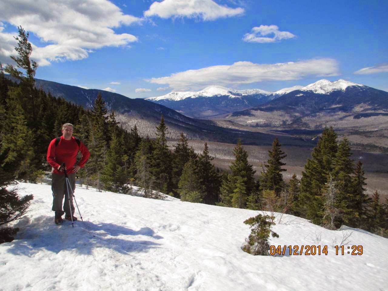
Not the summit but close to it. We ran into someone who offered to take the pic
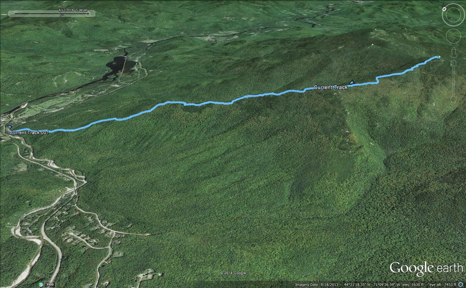
GPS Track #1
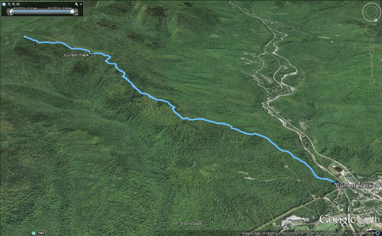
GPS Track #2
GPS Track #3
Summit of Mount Cabot.......: 4,179'
Total hike time (round trip)..: 6h 15m
Elevation Gain......................: 3,273'
Distance (round trip)............: 10.51m
Trails: York Pond Trail, Bunnell Notch Trail, Kilkenny Ridge Trail