Thursday, May 16, 2013

Trail Report: Mount Monadnock

May 4, 2013

Tony, Gary, Damien and myself went off to hike Mount Monadnock.  Gary is still working up to a 4000' footer and this was Damien's first ever hike so even though we just did Monadnock a few weeks ago we decided to do it again.  This time we went up Pumpelly Trail.  I have not done all the trails on Monadnock, but to date this is my favorite.  Pumpelly runs along the ridge/edge of the mountain and is 4.5 miles to the summit with some very nice views along the way.  The temps were in the 60's and clear skies, a very nice day for a hike.

Trailhead

Trailhead sign

Pumpelly was mostly flat for a while

Damien's first hike

Starting to get nice views

Going up a little higher for pictures

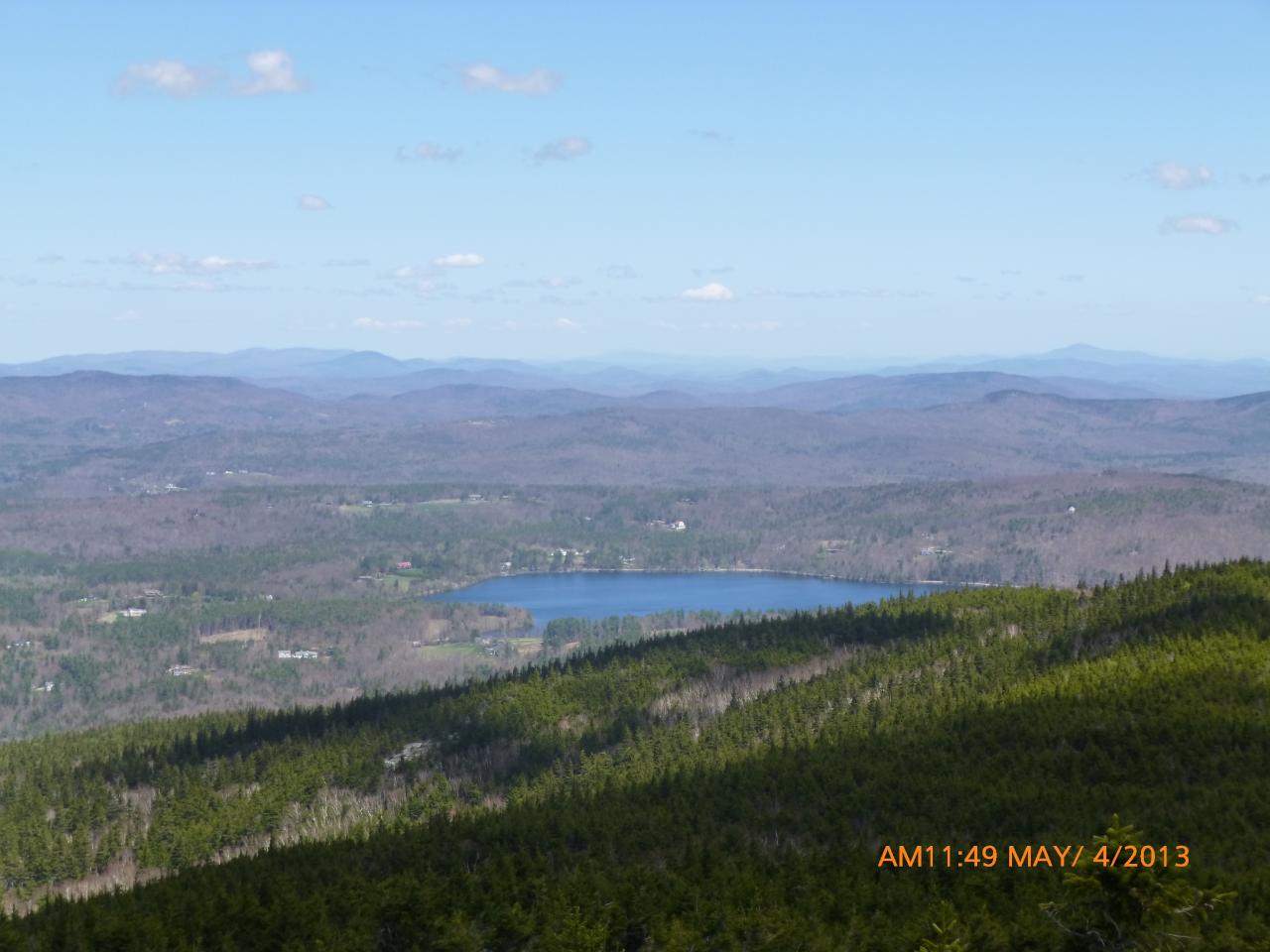
I believe this is looking East

Gary, Damien, Tony
I think that is North and South Pack in the background

Me

A PUD (pointless up and down)

Not the summit, but one of two false peaks you go over

The summit of Monadnock is behind Tony

Rock scramble

Me again

About 3 miles into the hike (4.5m one way)

Getting steeper

Seeing the hills I would say I am looking North here

More rock scrambles

Getting closer

Damien standing on a huge rock

A little snow still hanging around

A marsh?  I don't know but it looked cool

Another massive rock slab

Why I'm not a fan of this mountain, it's always a city at the summit

Gary holding his last snowball of the season

Last push to the summit

We hiked the entire ridge line in this photo

USGS Marker at the summit 3,165'

Gary & Damien at the summit

Tony at the summit

Summit brews

View from the summit

Heading back down

 GPS Track #1

GPS Track #2

Summit of Mount Monadnock: 3,165'
Total Hike Time: 6h5m
Distance: 9.16m
Elevation Gain: 2,512'
Trails: Pumpelly Trail

Tuesday, May 7, 2013

Trail Report: North and South Hancock

April 25, 2013

What a beautiful, clear sunny day.  Temps were in the mid 50's.  No snow shoes or winter jackets.  Just microspikes and a shell most of the day.  Tony and I hit I-93 and headed North to Whites to do North and South Hancock (4,420 & 4,278).

We had expected a lot of the snow to be gone.  We were wrong.  The beginning of the trail had spots of snow here and there but as we got further down the trail and into the higher elevations, we ran into 2-4' of snow.  Due to the warming weather, the entire hike was like walking on beach sand for 10 miles.  Not very enjoyable, but I suppose any day in the woods is better than sitting in the office.

The monorail was high, but very soft.  We were both constantly falling off it and ended up post holing, sometimes very deep.  At one point I sunk in, both legs, thigh high.  This hike was a nightmare.  We made it but it made me decide not to hike the Whites for a few more weeks.  I love winter hiking, but this soft/beach sand style snow is not for me.

Hancock Notch Trailhead

 No snow at the start

It didn't take long to run into snow

 
Second stream crossing - there were many of these some very wide and deep

Me after a stream crossing

One of many post holes

Cedar Brook Trail Sign

One of the bigger stream crossings

Hancock Loop Trail Sign

The entire hike was like this all day

Tony trying not to get wet

First view - Summit of North Hancock

We went to South Peak first

Summit of North Hancock to the right

I think this is Lafayette, Lincoln and Haystack

Sign at the summit of South Hancock

The only view from South Hancock

Closer view of Lafayette, Lincoln and Haystack

South Hancock to the far right - False peak in the middle

North Hancock Summit Brews!

Much better views from the summit of North Hancock

Tony @ the summit of North Hancock

Me @ the summit of North Hancock

The finish line - we were glad this one was over

Standing on the Kancamagus Highway

10 mile GPS track

 GPS track of the summits.  North to the left


Summit of South Hancock: 4,420'
Summit of North Hancock:  4,278'
Total hike time:7h 12m
Distance: 10m
Elevation Gain: 3138'
Trails: Hancock Notch Trail, Cedar Brook Trail, Hancock Loop Trail